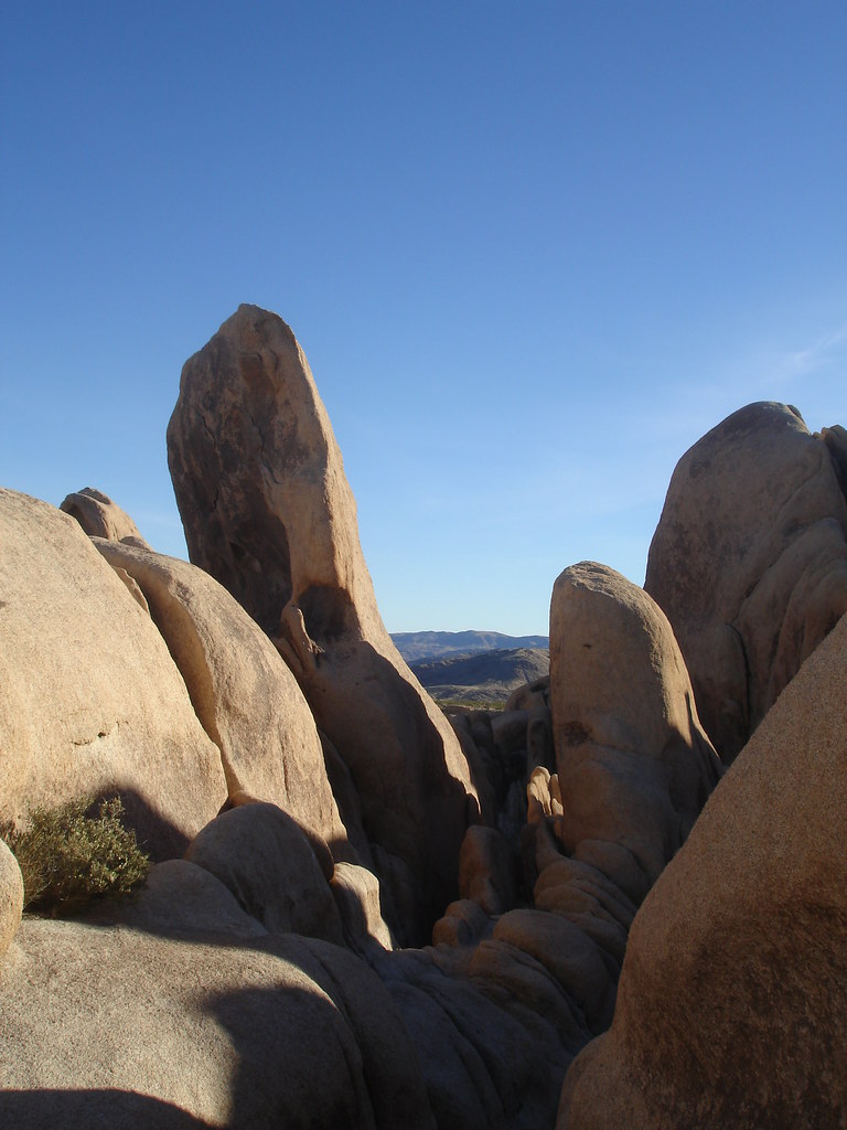
JOSHUA TREE NATIONAL PARK
The overall goal of this project is to gather information to support visitor use management and planning at Joshua Tree National Park. Specifically, this project is intended to inform and guide NPS managers in providing sustainable and appropriate visitor experiences and visitor uses in the park. The information gained from the project will help managers understand the visitor population and potential management actions that may ensure high-quality recreational and educational experiences, protect resources, and provide continued access to the park. A portion of the data analyses will incorporate discussion related to potential regional growth and its relationship to the park.
|
|
|
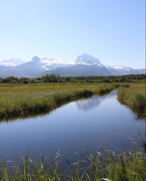
KATMAI AND LAKE CLARK NATIONAL PARK & PRESERVE
This project is evaluating temporal and spatial visitor use distributions, impacts, and experiences at interior multi-use sites and coastal sites at Katmai National Park & Preserve and Lake Clark National Park & Preserve, both in Alaska. Specifically, the project contributes to managers’ understanding of crowding and conflict at both locations. Ultimately, this project is intended to help managers understand where, when, and to what degree crowding and conflict is occurring, and how different distributions and use levels may influence the visitor experience.
|
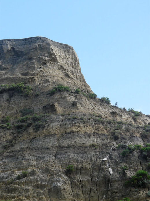
THEODORE ROOSEVELT
|
|

|
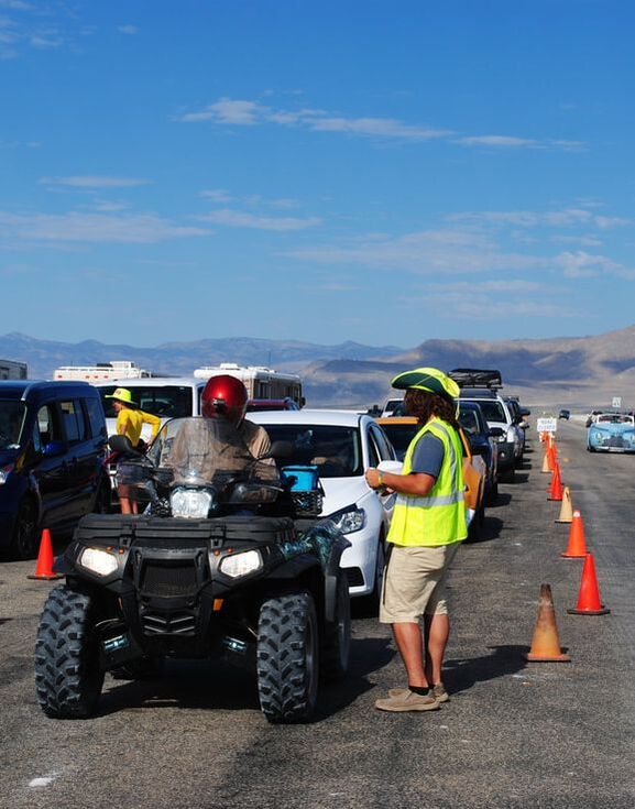
BONNEVILLE SALT FLATS
Bonneville Salt Flats (BSF) is a vast and dynamic perennial salt pan in northwest Utah that is changing rapidly. The system not only responds to variations in rain, wind, evaporation, and groundwater flux, but also to a century of land-speed racing, potash mining, and recreation. This project examines the BSF system in a holistic cross-sector study to identify the linkages between management decisions, stakeholder perception and use, and the natural biophysical and hydrological system.
|
MAMMOTH CAVE NATIONAL PARK
The overall purpose of this research is to gather baseline information that will help support visitor use management planning at MACA. This research is intended to inform and guide NPS managers in providing sustainable and appropriate visitor experiences and visitor uses in the park. This study will also provide subject matter expertise within the fields of visitor use management.
|
|
|
CUMBERLAND ISLAND
|

NATIONAL WILDLIFE REFUGES
The National Wildlife Refuge (NWR) System hosts tens of millions of visitors annually across the country. These visitors participate in a variety of activities ranging from hunting and fishing, to horseback riding, to educational visits from local schools. Accurately, efficiently, and consistently estimating the number of visitors to NWRs is a challenge across the Service due to the remote and porous nature of many refuges, reduced staffing levels for visitor services, and the variety of activities in which visitors engage.
|
|
|
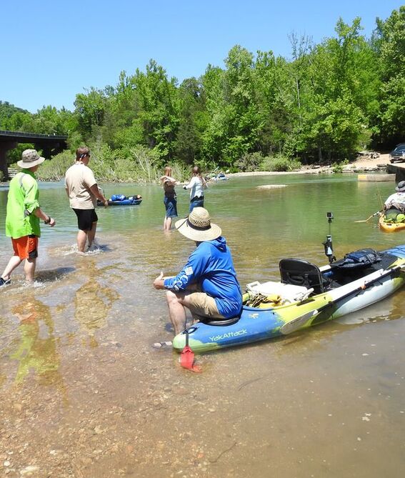
BUFFALO NATIONAL RIVER
The overall purpose of this research was to gather baseline information to help support visitor use management planning at Buffalo National River. This research is intended to inform and guide NPS managers in providing sustainable and appropriate visitor experiences and visitor uses in the park.
|
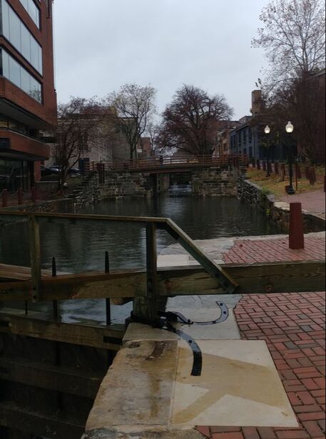
DELAWARE WATER GAP
The purpose of this project was to gather accurate, defensible, science-based information to help inform a Visitor Use Management Plan at Delaware Water Gap National Recreation Area. Approximately 2,000 completed visitor surveys and 100,000 field camera photos were used to assess visitor experiences, use levels, and visitors’ expectations and attitudes towards the park unit and its management.
|
|

|
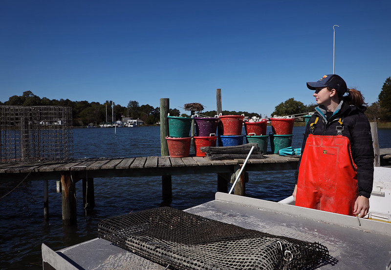
SOUTH CAROLINA COAST MARICULTURE
This project aims to investigate social constraints, barriers, and hurdles to oyster mariculture in South Carolina. Specifically, this project targets assessment of stakeholder perceptions with regard to social acceptability towards the expansion of oyster mariculture and associated infrastructure in Beaufort and Charleston counties. Perceptions from a broad range of stakeholders are assessed, including: coastal homeowners, tourists, recreational boaters, and recreational anglers/shellfishers.
|

ARCTIC NATIONAL WILDLIFE REFUGE
A current area of concern for the Arctic Refuge is the demand for commercially-guided, water-based polar bear viewing and the related quality and sustainability of visitors’ experiences. The overall purpose of this project was to provide the necessary social science research, expertise, and support to accurately and defensibly guide visitor management and related visitor capacity decisions.
|

|
|
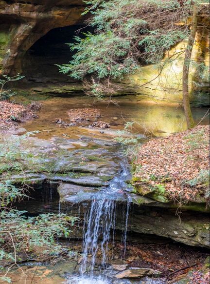
TENNESSEE STATE PARKS
This project was conducted in three waterfall-based state parks within the Tennessee State Parks system: Cummins Falls State Park, Rock Island State Park, and Burgess Falls State Natural Area. The project gathered accurate, defensible, and science-based information to help support visitor use planning, management, and carrying capacity decisions at these parks.
|
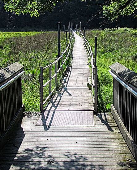
ACE Basin
The purpose of this research is to gather visitor-based data necessary to better understand and manage visitor use at ACE Basin National Estuarine Research Reserve (ACE Basin) as visitor levels increase. We will use empirical information and baseline data to help managers adapt and enhance visitor use while also protecting the natural resources.
|

|

|
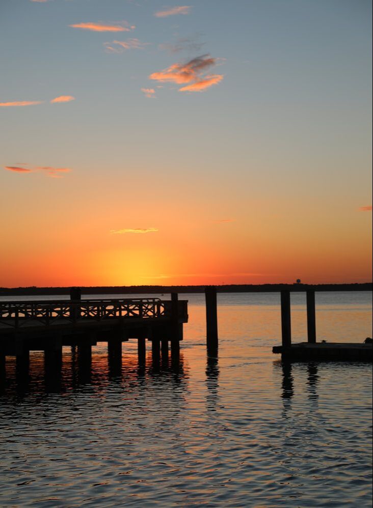
North Inlet - Winyah Bay
The overall purpose of this project is to provide the information and data necessary for the staff at North Inlet - Winyah Bay National Estuarine Research Reserve (NI-WB) to manage visitor use. The results from this study will enable the staff to find the balance between enhancing the visitor experience and protecting NI-WB’s natural and cultural resources when making management decisions.
|
Tiger Conservation in IndiaThis project aims to understand human perspectives to inform tiger conservation intervention and management in India. Furthermore, the research also aims to illuminate successful strategies, as well as policy pitfalls of India’s Tiger Recovery Program, that may aid other tiger range countries in their conservation efforts for their wild tiger populations. Indeed, the project outcome will help to address India’s contemporary tiger conservation and management challenges as well as those interested in national-scale wildlife conservation and management more broadly.
|
|
|
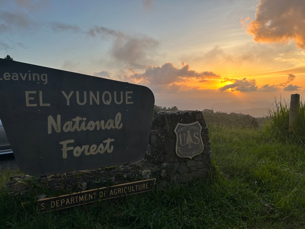
El Yunque National ForestThe overall purpose is to provide the necessary social science data to accurately and defensibly guide visitor use management and community-based tourism development along the 186 Road Corridor at EYNF. Users of the corridor and community members nearest to the corridor are the project’s focus.
|