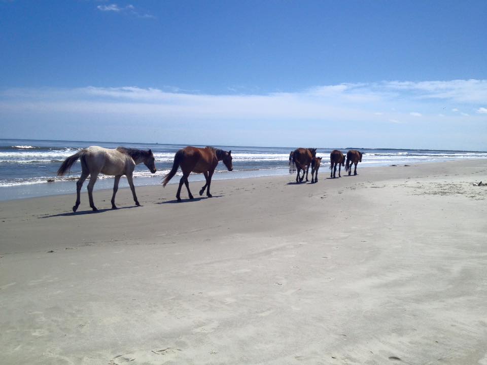
Cumberland Island National Seashore
Evaluation of the relationship between current conditions, travel patterns, visitor thresholds, and ferry services at Cumberland Island National Seashore
Objectives:
The purpose of this project is to evaluate the following at Cumberland Island National Seashore (CUIS):
- Current temporal and spatial distributions of wilderness users’ travel patterns, including use densities in the wilderness;
- Visitation frequency and density at popular visitor attraction sites (i.e., current conditions);
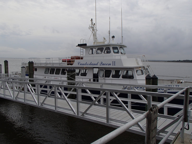
- The relationship between current conditions, visitor thresholds for crowding at attraction sites, and the timing and amount of people on the ferry.
Management:
The results of this project will provide information for CUIS managers to assist in (but not limited to) a) visitor use capacity discussions, b) determining changes in concessionaire planning and management, and c) planning to increase recreation quality and distribute use while preserving desired conditions. Although previous studies have evaluated crowding thresholds at various island attraction sites (see Hallo, Manning, Brownlee, & Smith, 2012), the island (CUIS) lacks information about how current conditions align with (or violate) visitors’ desired thresholds. Furthermore, the relationship between current conditions, visitor thresholds for crowding, and the timing and capacity of the ferry service has not been evaluated. Additionally, although the island understands day visitors’ travel patterns on the southern end of the island, there is no information about travel patterns or use densities in the wilderness area. These information gaps make it difficult to effectively plan for potential changes. This information is necessary to ensure that visitor use management, infrastructure, and management decisions at CUIS are defensible, sensitive to constituent needs, and incorporate future visitor use projections while preserving desirable island conditions.
Collaborators:
- Kansas State University
- U.S. National Park Service
